What Does an Oculus Rail Sensor Actually Track?
As cameras and sensors become more common in public spaces, communities are asking important questions:
What information is being collected? Why is it being collected? How is it used? And does the technology identify or track individual people or vehicles?
Those are reasonable questions—and technology companies should be prepared to answer them clearly.
Oculus Rail was developed for a specific public purpose: helping communities better understand activity and disruptions at railroad crossings.
The Crossing Is the Focus
The primary function of an Oculus Rail sensor today is to determine whether a railroad crossing is blocked by a train, when the blockage begins, when the crossing clears, and how long the disruption lasts. That information is converted into real-time alerts and historical crossing data that can help:- First responders make better-informed routing decisions
- Motorists avoid unexpected delays
- Municipalities and transportation agencies understand recurring crossing impacts
- Planners identify patterns and prioritize potential improvements
- Communities support infrastructure and grant-funding decisions with objective data
Purpose Matters
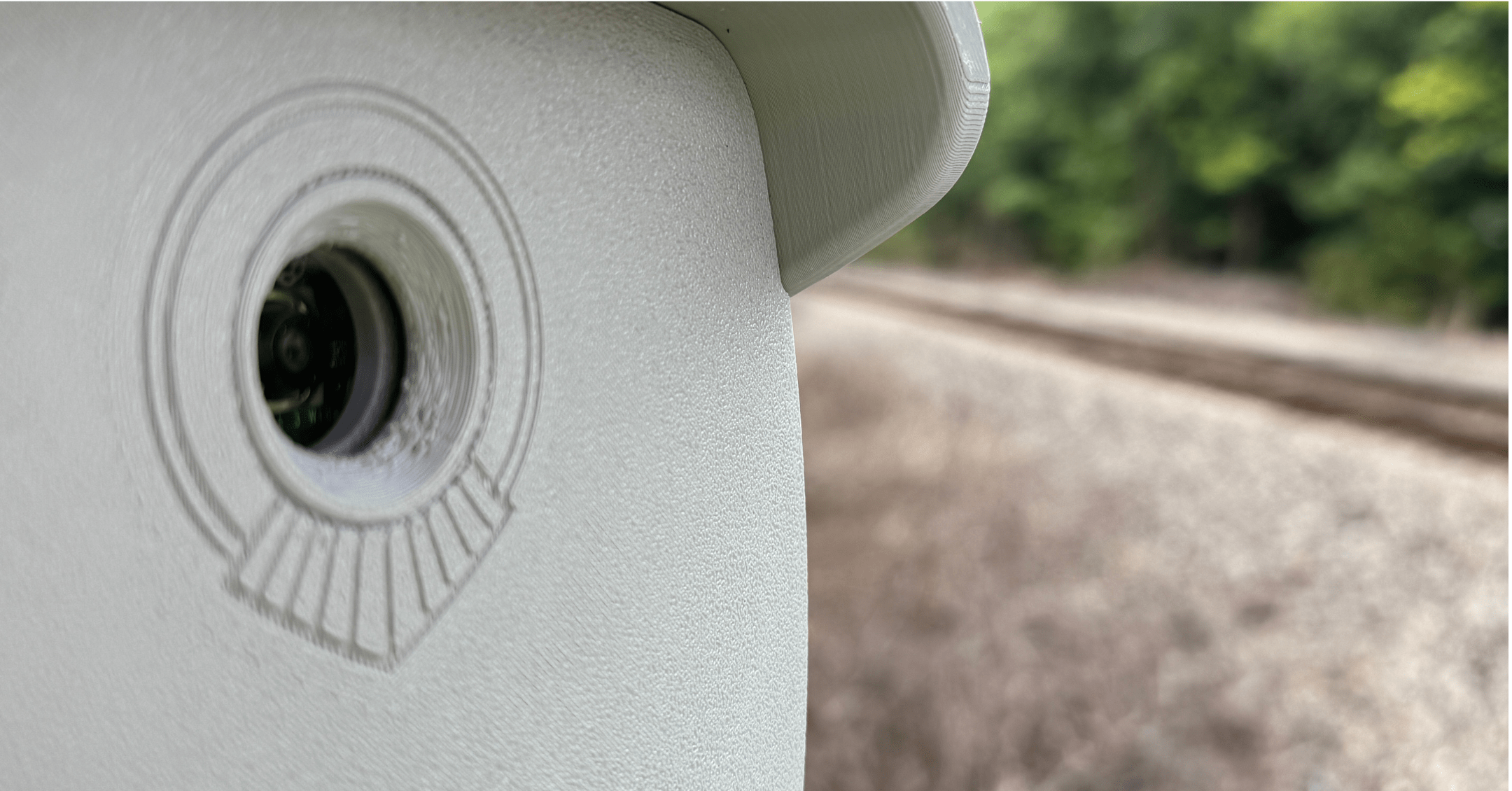
Not every camera-based system operates in the same way or serves the same purpose. Some technologies are designed to identify particular vehicles, license plates, or individuals. Oculus Rail is designed to provide useful transportation and public-safety information about railroad-crossing conditions. Oculus Rail sensors capture periodic still images rather than continuously streaming video. Our computer-vision system uses machine learning to analyze those images and determine whether a train is present. That information allows the platform to identify when a crossing becomes blocked, when it clears, and how long the blockage lasts. Over time, the data can help communities answer questions such as:- Is the crossing currently blocked?
- How long has it been blocked?
- How long do blockages typically last?
- How frequently does the crossing experience delays?
- Are there recurring patterns by time of day or day of the week?
- How are conditions changing over time?
- Can activity at one crossing help anticipate conditions at another crossing along the route?
Better Data, Better Decisions
Communities have historically struggled to obtain reliable information about blocked railroad crossings. Residents may report delays, first responders may encounter unexpected blockages, and transportation planners may conduct short-term studies that provide only a limited snapshot. Oculus Rail provides a more consistent picture. By documenting crossing conditions over time, communities can replace assumptions and anecdotes with objective data. That can support better transportation planning, stronger funding applications, more informed emergency-response strategies, and a clearer understanding of how railroad activity affects mobility and quality of life. These benefits do not require identifying the individuals traveling through the crossing.Building Trust Through Transparency
Technology deployed in public spaces should not be treated as a black box. Communities deserve to understand what a system is intended to do, what information it produces, and how that information serves the public. They should also expect technology providers to establish clear boundaries around how information is collected and used. At Oculus Rail, we believe responsible civic technology begins with three principles:- A defined purpose. Technology should address a real public need.
- Proportional data collection. The information gathered should be appropriate to that purpose.
- Transparency. Communities should understand what the technology does—and what it does not do.
