Real-time railroad crossing intelligence for communities, drivers, and emergency responders.
Get real-time and historical railroad crossing data to understand crossing activity, support transportation planning, and build safer, more connected communities. → Data Subscriptions
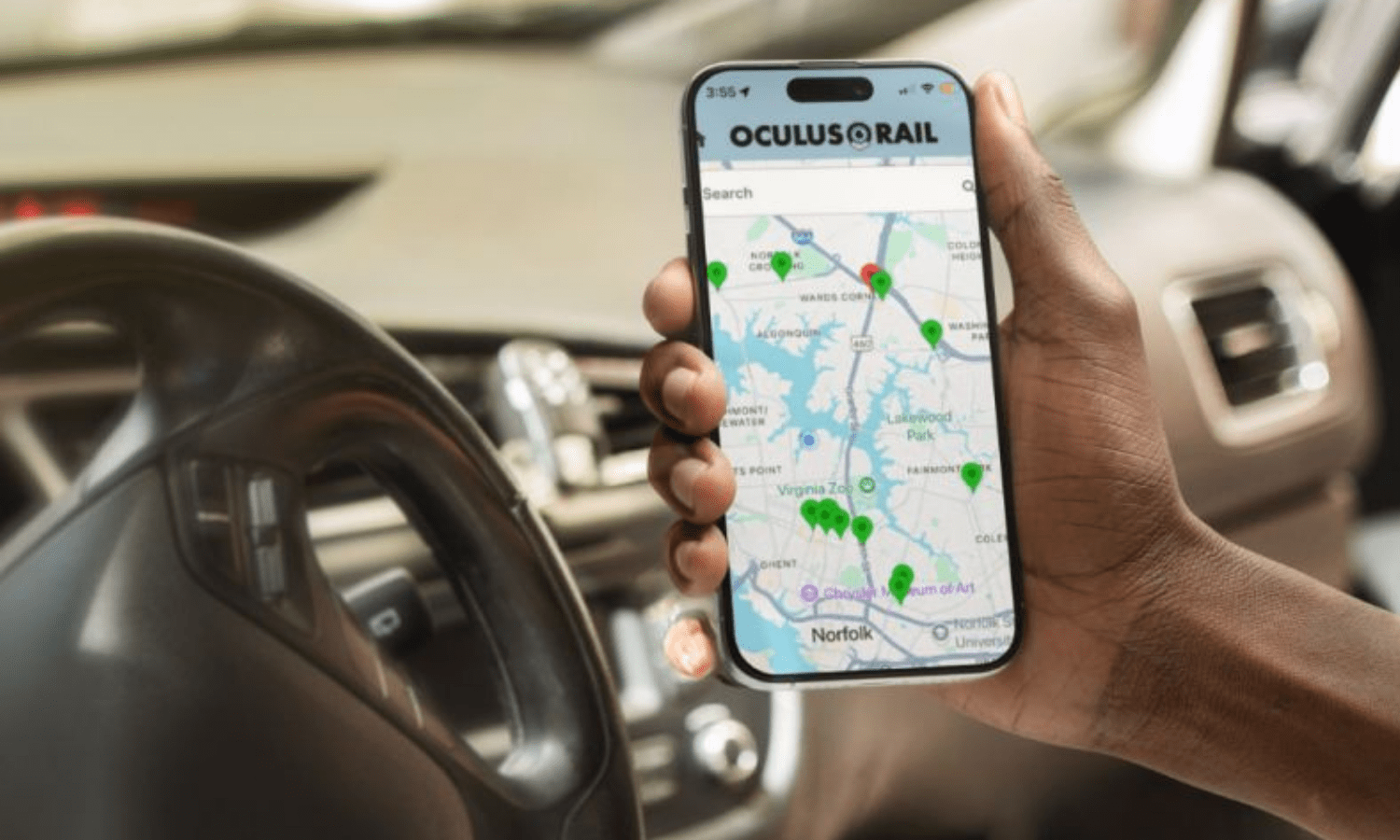
Know before you go. The free Oculus Rail App shows which crossings are blocked, so you can plan your route and avoid delays.
→ Know Before You Go
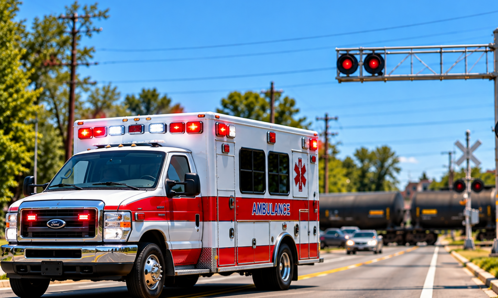
Know when a railroad crossing is blocked before it becomes an emergency. Real-time crossing status helps public safety teams make more informed routing decisions when every minute matters. → Railroad Crossing Intelligence for First Responders
OUR SOLUTION
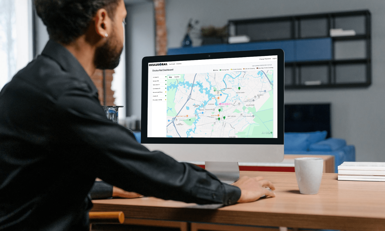
Oculus Rail helps communities better understand and respond to blocked railroad crossings with real-time crossing information. See when crossings are blocked, how long they remain blocked, and when they clear. This information provides municipalities and transportation agencies with reliable data to understand how rail crossings affect traffic and mobility; gives first responders better visibility when every second counts; and helps motorists choose other routes.
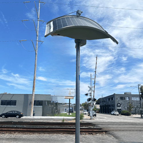
Our solar-powered, cellular-connected sensors are installed in the public right-of-way near railroad crossings. They do not connect to railroad signaling systems and require no integration with railroad infrastructure. The Oculus Rail municipal dashboard, mobile app, and API deliver crossing information.